
Image from Amazon.com
Image from Google Jackets
Image from OpenLibrary
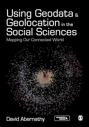
Using Geodata & Geolocation in the social sciences : mapping our connected world / David Abernathy
Material type: TextDescription: xiv, 327 pages : color illustrations, color maps ; 25 cmISBN:
 - 9781473908185
- 910.285 ABE
| Item type | Current library | Collection | Call number | Status | Date due | Barcode | |
|---|---|---|---|---|---|---|---|
 Books
Books
|
Acquisition, Cataloguing, Classification and Distribution Development | Adult Non Fiction | 910.285 ABE (Browse shelf(Opens below)) | Available | B231830 | ||
|
Books
|
Preservation, Conservation & Publication | 910.285 ABE (Browse shelf(Opens below)) | Available | A747306 |
includes bibliographical references and index.
Covering context, concepts, and theories, as well as the practice of how to capture and visualise geodata, this text introduces readers to the Geoweb and how best to incorporate location-based data into research.
There are no comments on this title.
Log in to your account to post a comment.